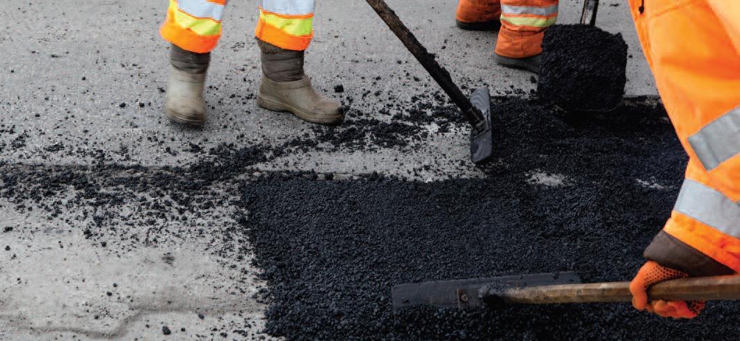
The scale of the problem
Road degradation is an increasing problem for asset managers. Potholes are one of the main contributing factors and require local authorities to commit limited funding to maintenance and repairs. According to the Asphalt Industry Alliance (AIA) Annual Local Authority Road Maintenance Survey (ALARM) 2019, the total number of potholes filled in the past year (April 2018 to April 2019) in England and Wales totals 1,860,072 at a cost of £97.8m. The average cost to fill one pothole as part of planned maintenance is £39.80 compared to £65.10 for a reactive repair.
Improving asset management
A CSIC, University of Cambridge and University of California, Berkeley research project is examining the degradation of roads (evaluation considers potholes, cracks and other types of defects) with the aim of improving road asset management. Currently asset managers lack accurate methods to support decision-making on maintenance programmes resulting in an ad-hoc approach to deciding which areas of road to repair and maintain. A predictive and city-scale maintenance approach based on accurate information would allow more efficient planning, reducing the cost of works and disruption.
Pavement condition data
This research seeks to improve knowledge about local road degradation using road condition data from visual surveys published by the San Francisco Department of Public Works. This provides historical and current information on the Pavement
Condition Index (PCI) of more than 12,000 street segments in the city (pavement in this context refers to road surface). Following recent advances in road condition monitoring, resulting data is becoming available in increasingly large spatial scales and high spatial resolutions. This brings both opportunities and challenges for road management: opportunities to understand network-wide condition change and maintenance needs at high spatio-temporal resolution; challenges to efficiently analyse large amounts of spatio-temporal data to identify meaningful and usable quantification to inform maintenance and management.
Incorporating spatial and temporal dimensions Incorporating spatial and temporal dimensions into road degradation modelling secures a system-wide understanding for asset management. There are many difficulties in producing a reliable road condition prediction model, particularly with the strong presence of measurement errors inherent in visual surveys and lack of information on crucial degradation-affecting factors including construction quality, microclimate and ground conditions. To address the issue of ‘imperfect data’, additional structures in the data are considered to enable further insights of the street network. This research demonstrates that a hierarchical modelling approach can be applied in a more general manner to take advantage of natural spatial structures in the street network and considers the possible correlations between nearby road sections. Three road degradation models were designed to represent a range of modelling strategies, including a conventional approach that fits a degradation curve for each category (road material type and functional class, see Figure 1), as well as a spatial model that explicitly considers the similarities in degradation trends of neighbouring road segments.
Benefits of spatial (SP) model
The SP model coordinates degradation rates between adjacent street segments showing regions of high degradation rates in red and low in blue (see Figure 2). Results show a large part of the individual variations in degradation rates are explained by the spatially structured component but the most convincing strength of the SP model is its ability to identify high degradation rates. The SP model:
- Is able to estimate the degradation parameters for road sections with missing or erroneous observations by using information from adjacent sections
- Can visually illustrate regions where roads degrade faster than average
- Can assist asset managers to apply their attention to a smaller region.
Smart infrastructure and management
The spatial road degradation model proposed in this study emerges from recent advances in the field of smart infrastructure and management and is built on two decades of continuous records of cityscale road condition data. Such input data are premised on advanced sensing and digital data inventory technologies for road infrastructure.
This model is also an example of how interdisciplinary data analysis techniques can contribute to the management of smart infrastructure. As a basis it addresses the imperfections (measurement errors and missing predictors) in road condition data and identifies critical regions where roads tend to age faster. Such results can support local engineers to conduct more informed inspections/site investigations, and make more effective asset management decisions.
Future prospects
The spatial model can support targeted inspections to investigate underlying causes of degradation in vulnerable regions and inform asset management decisions and activities by enabling system-level maintenance planning.
Inter-disciplinary modelling for sustainable cityscale management
In the longer term road degradation and traffic simulation modelling will be brought together to consider the sustainability of the cityscale transportation system through the modelling of potential emission mitigation scenarios. Currently, there are many carbon mitigation proposals within the transportation system, for example, eco-routing where drivers choose less congested and less bumpy routes. From the infrastructure asset management perspective, the opportunities include the adoption of recycled materials, roadwork schedules to minimise construction disruptions and maintenance allocations that prioritise the reduction of use phase emissions from vehicles. Current studies of both areas remain siloed; road engineers do not consider dynamics in traffic and traffic engineers do not consider condition of roads. Taking a systems approach enables network-wide impact in reducing emissions, total vehicle hours/distance travelled and overall road conditions to better manage traffic congestion and associated pollution and inform more efficient asset management.
